Loading... Please wait...

- Home
- All-Outdoors Atlases
- Pennsylvania
- Pennsylvania All-Outdoors Atlas & Field Guides - eBook Collection

roll over the image to zoom or click to enlarge
)
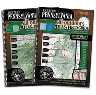
Pennsylvania All-Outdoors Atlas & Field Guides - eBook Collection

Save more when you order 2 or more items
Product Description
Note: This page covers the eBook editions of the All-Outdoors Atlases (for use with smartphones, tablets, and computers). If you are looking for the print versions, please click here.
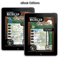
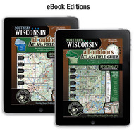
These eBook Editions of the Pennsylvania All-Outdoors Atlas & Field Guides bring everything you love about the print editions to your phone, tablet, or computer. These digital version allows you to access your maps and information from any of your devices anytime you need them. The files are downloadable, which means you don't have to worry about trying to find an internet connection to access your maps when you are enjoying your time outdoors.
These eBooks contain beautiful, full-color maps at twice the scale of other regional atlases, which means four times the detail, and 100 times the information through informative charts, tables and helpful editorial for all your favorite outdoor activities including fishing, hunting, camping, hiking, biking, off-roading, paddling, skiing, golfing and wildlife viewing.
These 160-page, full-color digital editions are your complete guide to all of the outdoor activities in the area with unmatched information including public land boundaries, hunting areas, designated use areas, access to streams and lakes, designated trout fisheries, public and private camping locations, national, state, and county parks, recreation areas, state and national forests, snowmobile, off-roading, biking, hiking, equestrian, and skiing trails, canoe routes, wildlife viewing destinations, scenic drives, waterfalls, covered bridges, historic sites, golf courses & virtually anything and everything this region’s great outdoors has to offer! This level of detail is made possible by splitting the state into two regions: Western (422 MB), Eastern (406 MB).
If you are serious about your outdoors and want to spend more time doing and less time pondering, this is an absolute must-have addition to your reference library!
- Comprehensive coverage of all outdoor activities
- Highly detailed recreational maps at twice the scale of other recreational atlases
- Extensive tables, charts and editorial
- Fishing lakes and streamse
- Hunting areas
- Camping spots
- Hiking trails
- Biking trails
- Snowmobile trails
- ATV trails
- Equestrian trails
- Canoe and kayak routes
- Golf courses
- Scenic drives, waterfalls, historic sites
- Parks & forests