 Loading... Please wait...


- Home
- Maps by State
- Kentucky
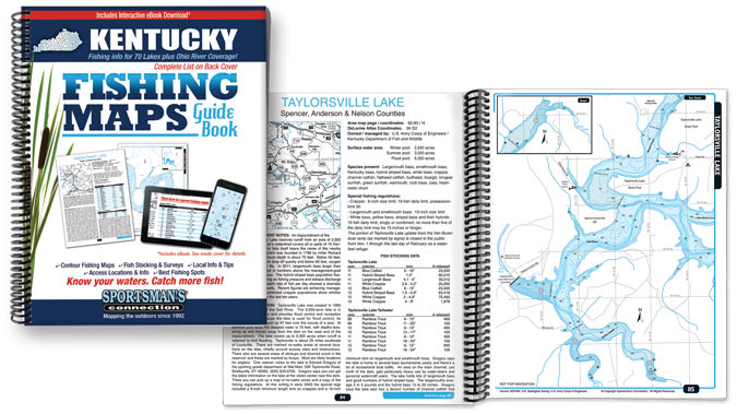
We provide lake maps and fishing information for 70 Kentucky lakes. You won't find a complete fishing resource like this anywhere else: lake maps, fish management data, lake facts, lake-specific tips from local experts and area road maps. All the information you need to plan your next trip.
The only fishing map guide book to all the great fishing opportunities Kentucky has to offer. This volume includes color contour lake maps, area road maps, stocking and survey data and fishing tips, all for only $24.95! Order now and receive the new interactive ebook absolutely free!
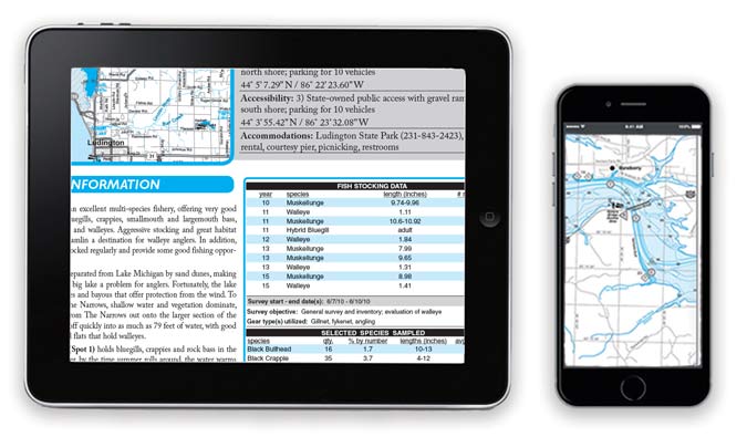
Our Interactive eBook Edition brings everything you love about the print version to your phone, tablet, or computer. Downloadable and compatible with virtually every device, this eBook Edition gives you access to your maps & information anytime, anywhere and features online fishing reports, events and Google Maps access detail, for only $14.95 or free with purchase of the print edition!
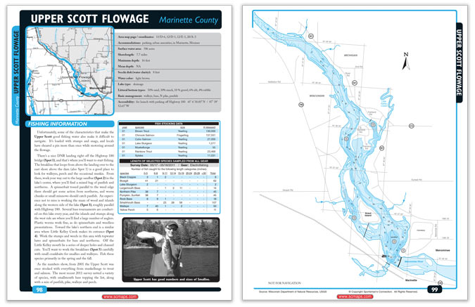
Our downloadable maps provide the same quality information as our comprehensive fishing guides for the individual lakes you need.
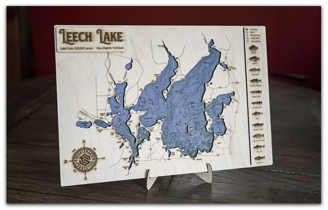
Our brand new engraved maps are hand-made to order, created from the same lake maps found in our books to provide a truly accurate depiction of your lake. With a blue stained contour lake, a raised land layer with detail of the area around the lake, a legend showing structure on and around the lake and species, and a raised name plate, this piece is the perfect fit for any home, cabin, cottage, or office.