 Loading... Please wait...


- Home
- Maps by State
- Minnesota
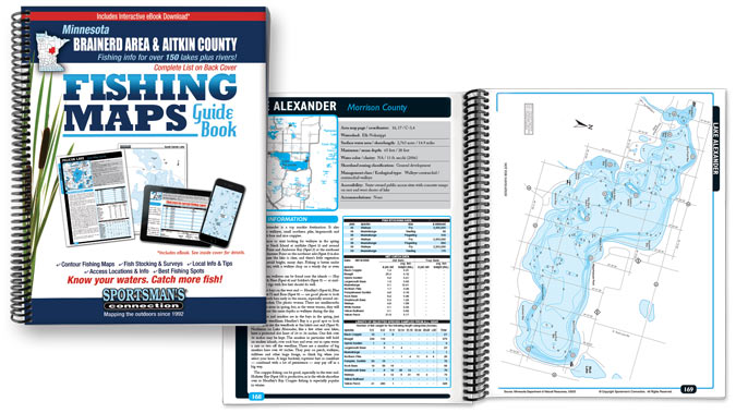
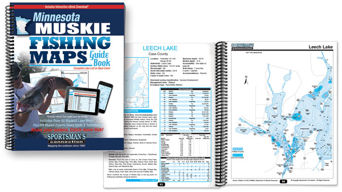
Each of these 10 regional fishing map guide books a Musky Fishing Map Guide and a Best Minnesota Lakes Guide includes color contour lake maps, area road maps, stocking and survey data, fishing tips and marked fishing spots. 130 to 250+ Minnesota lake maps in each volume for only $24.95 each! Order now and receive the new interactive ebook absolutely free!

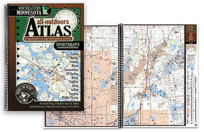
Three regional all-outdoors atlases which include lake and stream fishing info, public hunting areas, campgrounds, hiking and biking trails, snowmobile and atv trails, canoeing routes, downhill slopes and cross-country skiing trails, golf courses, sightseeing spots and more! Twice the detail as other leading atlases for just $29.95 each including a free eBook Edition!

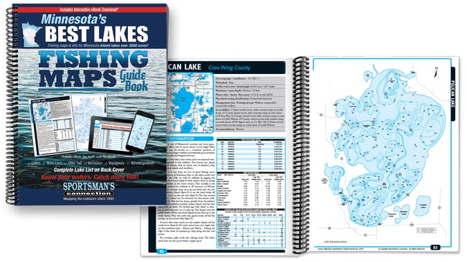
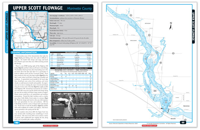
Minnesota's biggest and best lakes come together in one huge volume featuring over 75 lakes with tips and tactics from experienced locals, stocking and survey data, contour lake maps and much more!
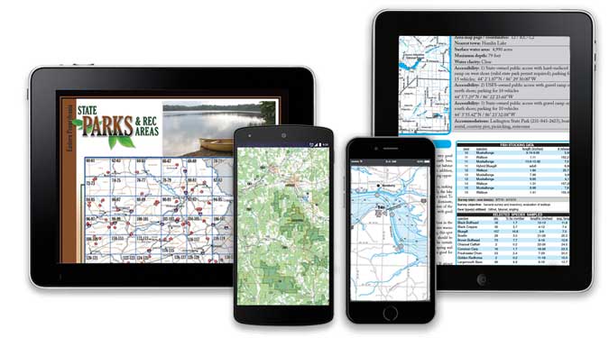
Our eBooks bring everything you love about our Fishing Map Guides and All-Outdoors Atlases to your phone, tablet, or computer. Downloadable and compatible with virtually every device, these eBook Editions give you access to your maps and information anytime, anywhere.
Our downloadable maps provide the same quality information as our comprehensive fishing guides for the individual lakes you need.
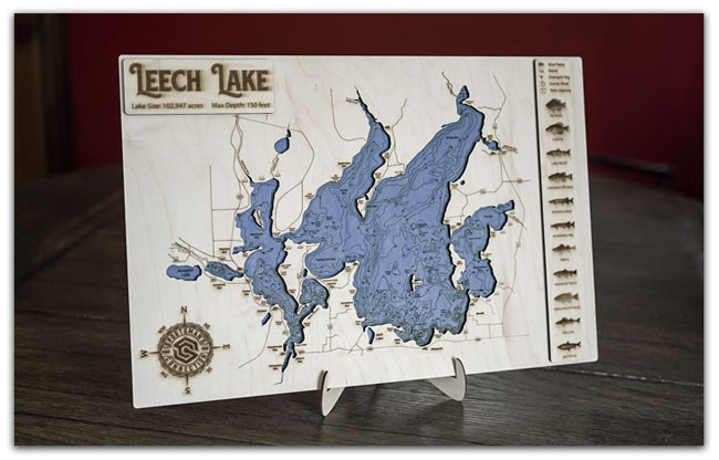
Our brand new engraved maps are hand-made to order, created from the same lake maps found in our books to provide a truly accurate depiction of your lake. With a blue stained contour lake, a raised land layer with detail of the area around the lake, a legend showing structure on and around the lake and species, and a raised name plate, this piece is the perfect fit for any home, cabin, cottage, or office.